
Private Pier or Shared Dock? Verifying Your True Riparian Rights on the Tred Avon River
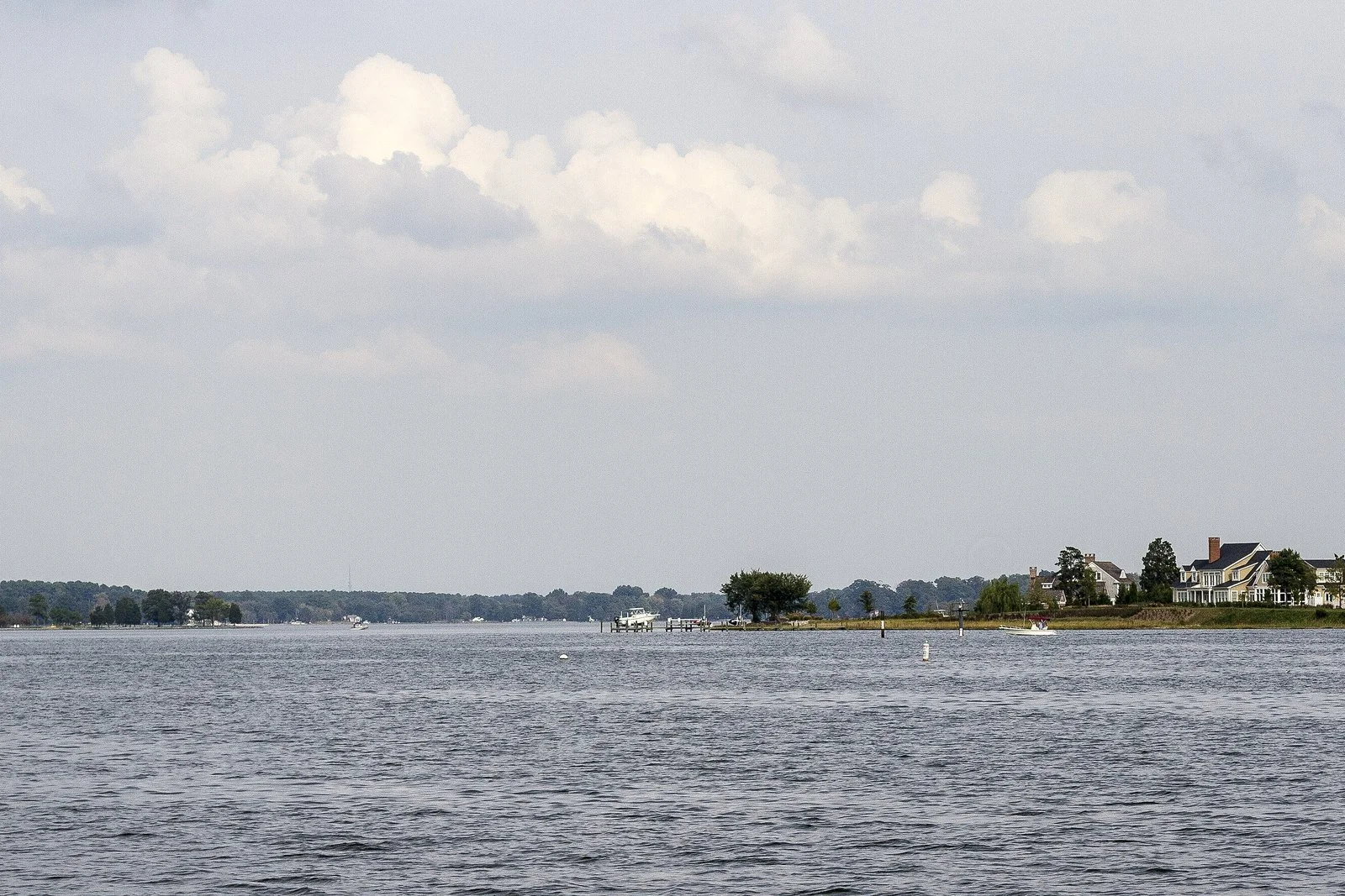
Photo: The Tred Avon River at Oxford, Maryland. Credit Acroterion, CC BY-SA 4.0, via Wikimedia Commons.
For many buyers, waterfront ownership is defined by one thing: the right to build a private dock. On the Tred Avon, the Miles River, and the other navigable waterways around Talbot County, that right is governed by riparian law, and it is misunderstood more often than almost any other part of a waterfront purchase.
What riparian rights are
In Maryland, the state holds title to the submerged lands beneath navigable waters. A waterfront owner generally holds riparian rights: the right to access the water, and to build a pier or wharf in front of the property, subject to state approval and permits. Those rights attach to the upland parcel, but they can be limited, shared, or already spoken for.
Three situations come up regularly in our searches.
The rights were conveyed away. A prior owner transferred the riparian rights, or the water frontage itself, to a community association in exchange for a shared pier or beach. The deed still says waterfront, and the buyer still assumes the dock is theirs.
The rights are shared. A subdivision plat shows a common waterfront parcel with a pier assigned to multiple lot owners. The buyer's lot may have access without exclusive use.
Someone else is already there. A neighbor's dock or mooring sits over the water in front of your parcel. Even where it was built in good faith, an encroachment can complicate financing, insurance, and any future permit application.
Why the deed alone does not settle it
A standard title search looks for recorded interests that affect the land. Riparian rights and the permits that follow from them sit in a different set of records: subdivision plats that set aside common waterfront, deeds that sever water rights from the upland, and state and county permit files. If nobody reads those, everyone assumes the dock is included.
A shoreline drawing from a prior owner's permit application is not proof of your rights today. Nor is a dock that has stood for thirty years. Long use is worth understanding, but it is not the same as a recorded right.
What verification looks like
Reviewing the deed and every prior deed for language that grants, limits, or separates water rights.
Reviewing the recorded subdivision plat for common areas and pier assignments.
Confirming whether a pier or riprap permit exists and who holds it.
Pulling the tax map and shoreline description to see how the frontage is described.
Asking the association, where one exists, what the pier rules actually are.
Before you sign a contract on the dock you think you see
If the purchase depends on being able to keep a boat in the water, say so early. We will review the deed and plat, tell you what the record supports, and flag anything that needs a closer look by a surveyor or by counsel before your contingencies expire.
Call us at 410.820.4426 and we will check the water fronting your parcel before it becomes someone else's problem.